- Home
- About Us
- Industries
- Products
- Services
Products & Services Portfolio
We are a registered GIS company that specializes in aerial photography, land survey, data services, web map & mobile solutions, GIS implementation services and training. Contact us for a free demo or service quotation.
- Contacts
about us
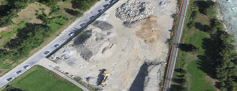
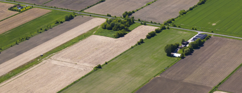
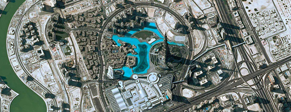
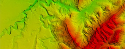
NatureSurf Systems Ltd is a licensed GIS company that specializes in aerial photography photogrammetry, satellite imagery, training and GIS implementation services.
Incorporated in Kenya, NatureSurf Systems has a highly competent and proficient workforce. Our high resolution geo-referenced aerial photography and satellite imagery enables us to offer unmatched visual output and analysis that ensures our clients obtain accurate and authoritative information on their area of interest at a very competitive cost.
Our aerial mapping and GIS services provide clients with tailored solutions to support a wide range of applications.
We focus on pursuing our central value of total and consistent satisfaction to the customer, by providing innovative products and services. We engage in development of an exceptional leading edge technology that aids provision of world-class mapping solutions. We undertake research to continuously learn, train and adapt to the fast technological changes in getting solutions quicker at affordable rates.
Clarity
NatureSurf Systems provides accurate geospatial data with clear images to enable effective planning, analysis, and implementation and ultimately perfect project results.
Accuracy
Our systems produce detailed images of up to 2cm resolution.
Speed
NatureSurf Systems commits to providing the best GIS solutions at the fastest possible turn-around time.
Diversity
We continue to offer a wide range of products. With the introduction of thermal mapping which is the first of its kind in Kenya, we are able to satisfactorily meet the requirements of the unmet demand.
Affordability
We offer high quality affordable GIS products and services in order to ensure that our clients are able to acquire what they need.