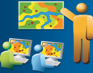
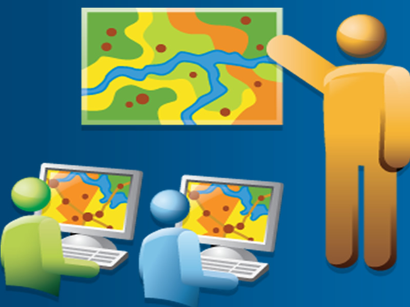
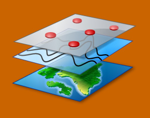
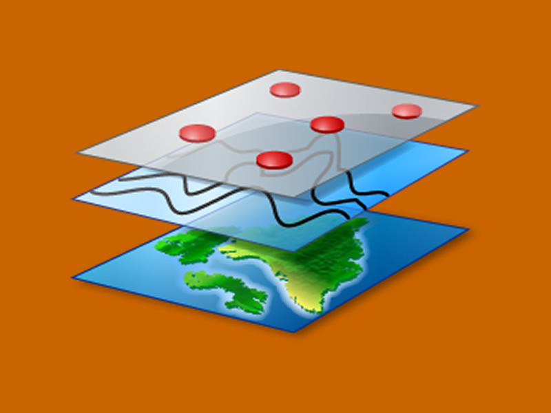
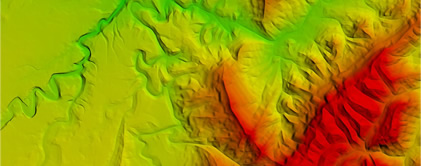
Services

Aerial Photos

Aerial Survey

We offer rapid turn-around and accurate processing of high-quality, large-scale precision aerial survey and ortho-photography. We provide competitively-priced, quickly-delivered and accurate mapping products specifically designed to meet your needs.

Aerial Photos

Land Survey

Our highly experienced team of surveyors use state-of-the-art field equipment to provide highly detailed surveys to our clients in the region. Virtually every site development, building, or infrastructure improvement project requires the services and expertise of a land surveyor.

Aerial Photos

Web Mapping

We understand that there are too many complex, custom apps which only get part of the job done. Therefore we pride ourselves in building the most flexible, configurable, offline-enabled web applications on the market today. Apps which are easy to use and can be configured for all your users.

Aerial Photos

GIS Training

Our Training Program is designed to meet the needs of professionals and students who are interested in learning how to use GIS as a tool for managing and analyzing spatial data. The program meets the needs of new GIS users by introducing them to GIS concepts and GIS software.

Aerial Photos

App Development

We provide application development services for mobile GIS for Apple, Android, and Windows platforms. The mobile applications we build are targeted at smartphones, tablets and laptops. Our focus is on offline and online apps. We emphasize simplicity and ease of use.

Aerial Photos

GIS Consultancy

GIS is at the core of many of our activities. We offer support to organizations looking to set up GIS departments or migrate their existing data to a robust multiuser environment. We provide services such as massive data collection tasks, database design and systems integration