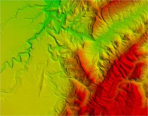
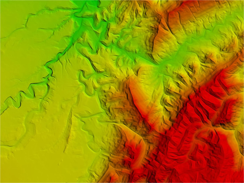
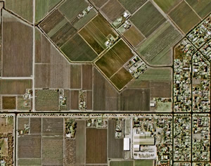
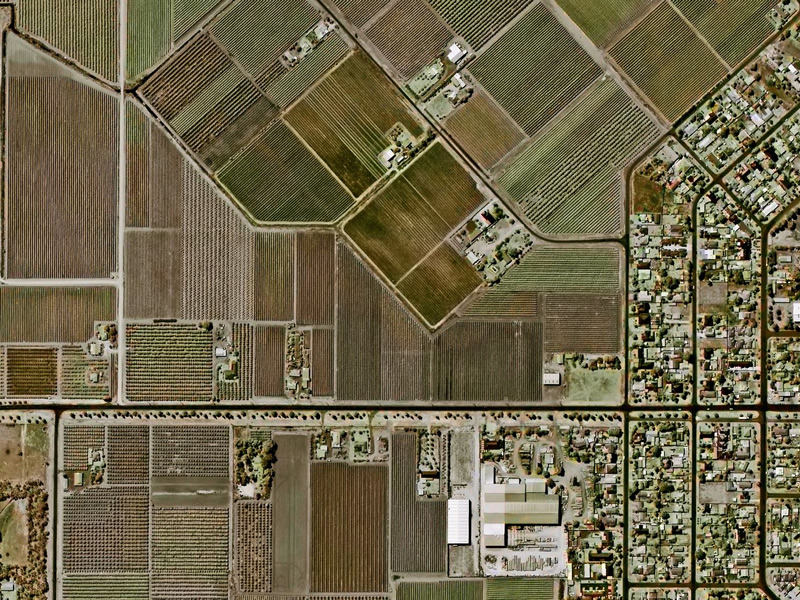
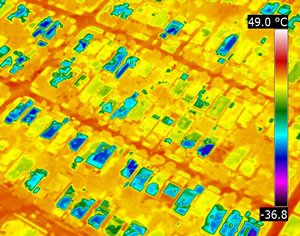
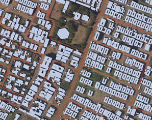
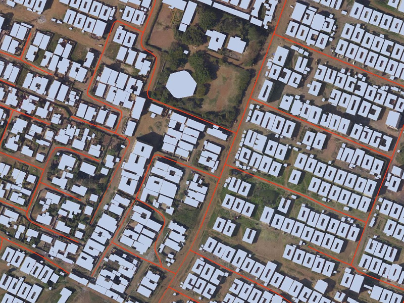
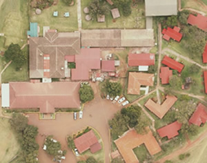
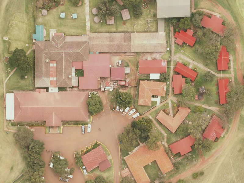
Products

Aerial Photos

Aerial Photos

Our aerial remote sensing systems collect data to produce nadir orthomosaics (directly from above) that are stitched together using our powerful, proprietary overlapping and seam-stitching technology to create georeferenced, accurate and detailed aerial photographs of up to 3cm resolution.

Aerial Photos

Elevation Data

NatureSurf Systems has a range of digital elevation and terrain data products available for Kenya. Our elevation and terrain datasets are suited to a variety of applications, including: emergency services; natural resource management; planning and development and line-of-sight analysis.

Satellite Imagery

We provide high resolution satellite imagery and image processing services for analysis and to support your GIS and other mapping and research applications. Whether you require quick tasking for monitoring an emergency, or a long term service, we offer diverse services for your needs.

Thermal Imagery

Our thermal sensor systems can detect a variety of anomalies, to be used in a wide array of different applications. Using thermal sensors, we are able to detect human activities at night, under thick foliage, or in open-water, applied in search and rescue missions as well as for detection of illegal activities.

Vector Data

We are dedicated to investing in cutting edge digitization technologies for our vast and diverse clientele. As our customer demand for high quality digitization has grown, NatureSurf Systems continues to deploy solutions that adapt to a multitude of applications and requirements. Contact us for accurate vector data.

Software

Geographic Information Systems mapping software helps you understand and visualize data to make decisions based on the best information and analysis. For us to offer you a complete solution, we have entered into partnerships with various software companies which ensure that our clients have one-stop shop for complete solutions.