- Home
- About Us
- Industries
- Products
- Services
Products & Services Portfolio
We are a registered GIS company that specializes in aerial photography, land survey, data services, web map & mobile solutions, GIS implementation services and training. Contact us for a free demo or service quotation.
- Contacts
Industries

Government Industry
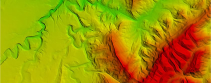
GIS technology is evolving rapidly and adoption of the innovations is critical to government’s successful implementation of geospatial projects. We provide solutions that allow government to share spatial data, services and resources within departments. learn more
Natural Resources
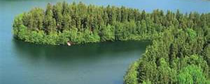
NatureSurf Systems provide natural resource management organizations with cost effective solutions to their monitoring and assessment requirements. We deliver accurate and timely data to aid critical decision making as you manage the earth's resources. learn more
Infrastructure & Utilities
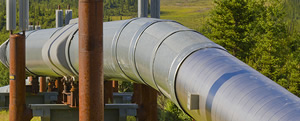
This industry requires accurate and reliable spatial data for successful planning, construction, management and maintenance. We provide a common platform to access business data, manage assets, update network information, integrate work orders, find customer information. learn more
Defense & Intelligence
Our solution gives decision-makers the tools and data they need to stay informed, protect citizens and allocate resources. learn more

Oil and Gas
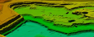
Accurate aerial imagery is the most cost-effective method of oil exploration available to petroleum experts today. We are experienced in acquiring and processing images that will lower your exploration risk and reduce your project cost. learn more

Construction
Construction industry requires accurate and reliable spatial data for successful planning, construction, management and maintenance. We provide a common platform to access business data, manage assets, integrate work orders and prepare reports. learn more